Wildlife Tech Class of 2014
Yorktown Heights High School
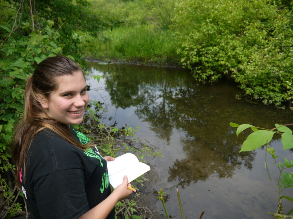
Mentor: Sheila Saia (Cornell University)
Project: Using Hydrological Models to Estimate Water Saturation Potential of Soils in the Mianus Watershed
Project Status: Completed
Project Description: Watershed modeling requires spatially explicit knowledge of soil moisture. Drying and weighing soil core samples for percent moisture is the best way to directly measure soil moisture, but is the most time consuming. Electronic soil probes can give a faster measurement of soil moisture but still require numerous measurements in the field at every site of interest. The Soil Topographic Index (STI) is a national map of soil moisture classes derived from a number of geographic features, and thus measurements are available for the whole country but are not based on actual measurements of soil moisture in the field. Under the mentorship of RAP student Sheila Saia, Danielle took soil cores and probe measurements at 4 sites in the Gorge and compared them to the STI to see if probe measurements and the STI were adequately accurate compared to soil cores.